Interactive Maps
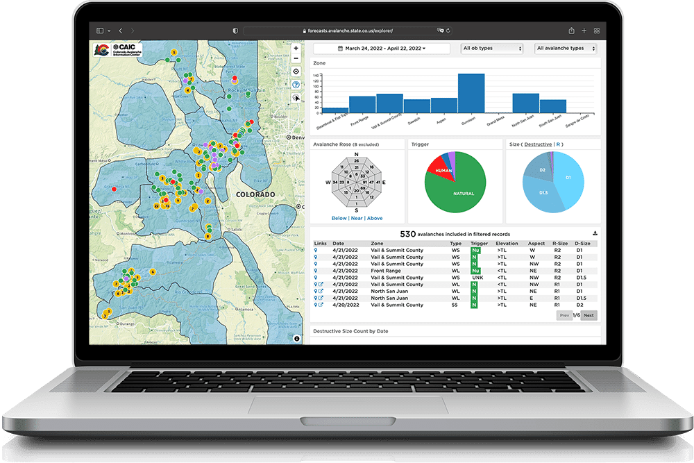
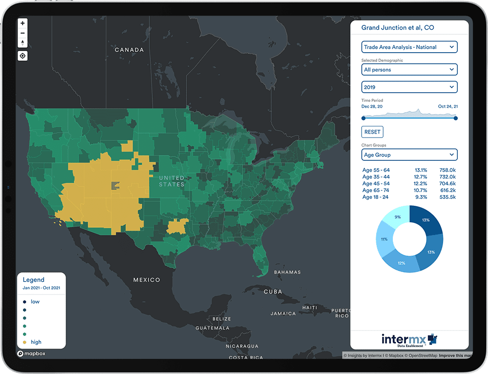
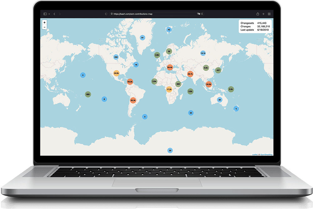
Location data is vital to the work of most businesses, but it can be hard to visualize spatial trends in complex data without putting it on a map. We're here to help your team cut though the noise and gain meaningful insights from your location data. Whether you need help computing advanced driving routes using Google Maps, plotting millions of points with Mapbox, analyzing population data from the Census, or leveraging massive global datsets from OpenStreetMap, we're experts in working with spatial data!
How Interactive Maps Can Help Your Business:
- Effortlessly uncover insights locked away in your spatial data
- Present your analysis in an impactful and memorable manner
- Discover untapped geographic trends


